


Search update October 2023
SCUBA tanks are off for now


Dear Reader.
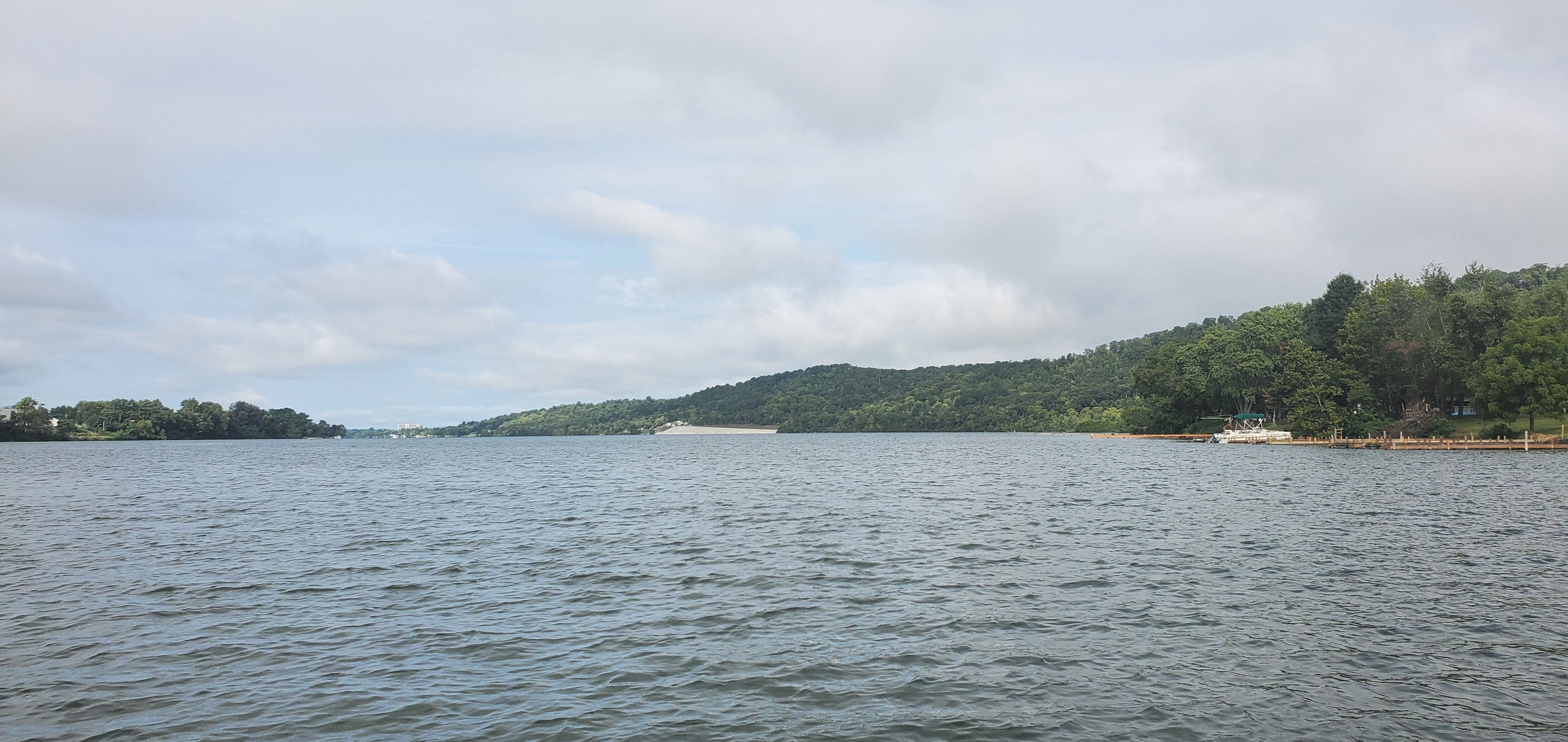
While you have been reading the accident history posts over the past several weeks, I’ve been on the river trying to find the wreck of America while the weather and river conditions allow. We’ve been out there on three full diving expeditions as well as several more scanning and video missions. These trips involve a boat ride with friends or family on a beautiful part of the Ohio River, so each has been a great day. However, these weeks have been a bit of an emotional ride for me, with rising expectations falling into disappointment when the dive doesn't find America’s remains. My hope resurges when we evaluate and apply what we’ve learned and then the cycle repeats.
The diving season has ended, so today I summarize what we’ve found (and haven’t found) and discuss my plans to continue the search next year. Thanks for joining me on the journey by reading these posts. I won’t be publishing weekly for now, but I will pop into your feed from time to time with updates.
If you’re a paid subscriber, I am especially appreciative and I hope you’ve enjoyed the detailed field dispatches and invite you to participate with your thoughts and questions in the chat. That said, I would understand if you suspended your sub for now.
If you’re a free subscriber, I would be appreciative of your support because, as you will see, I need to spend some money to design and build a research tool to improve the chances of finding America.
mcw 8 October 2023
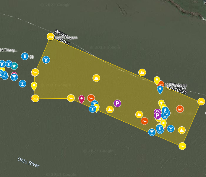
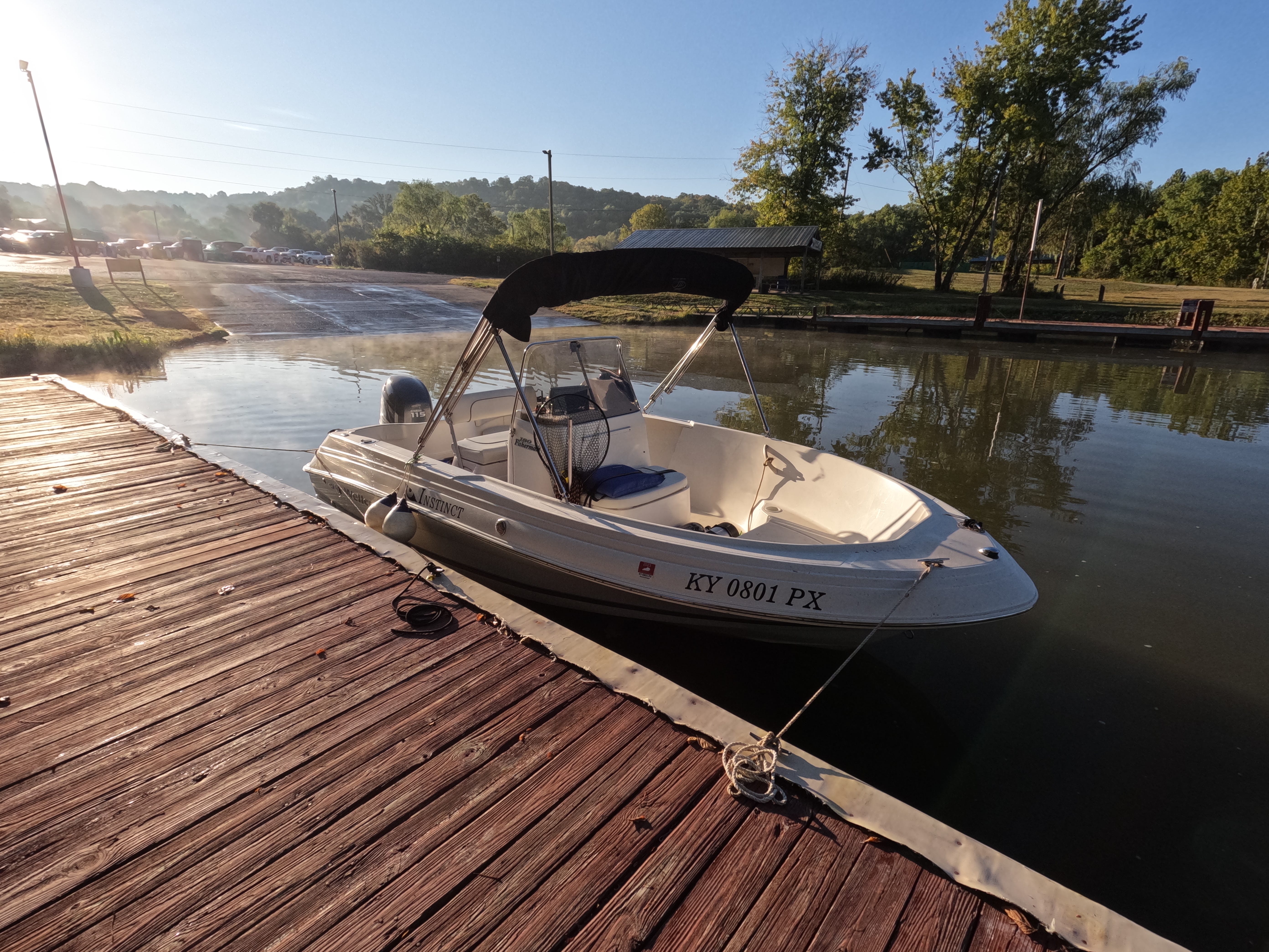
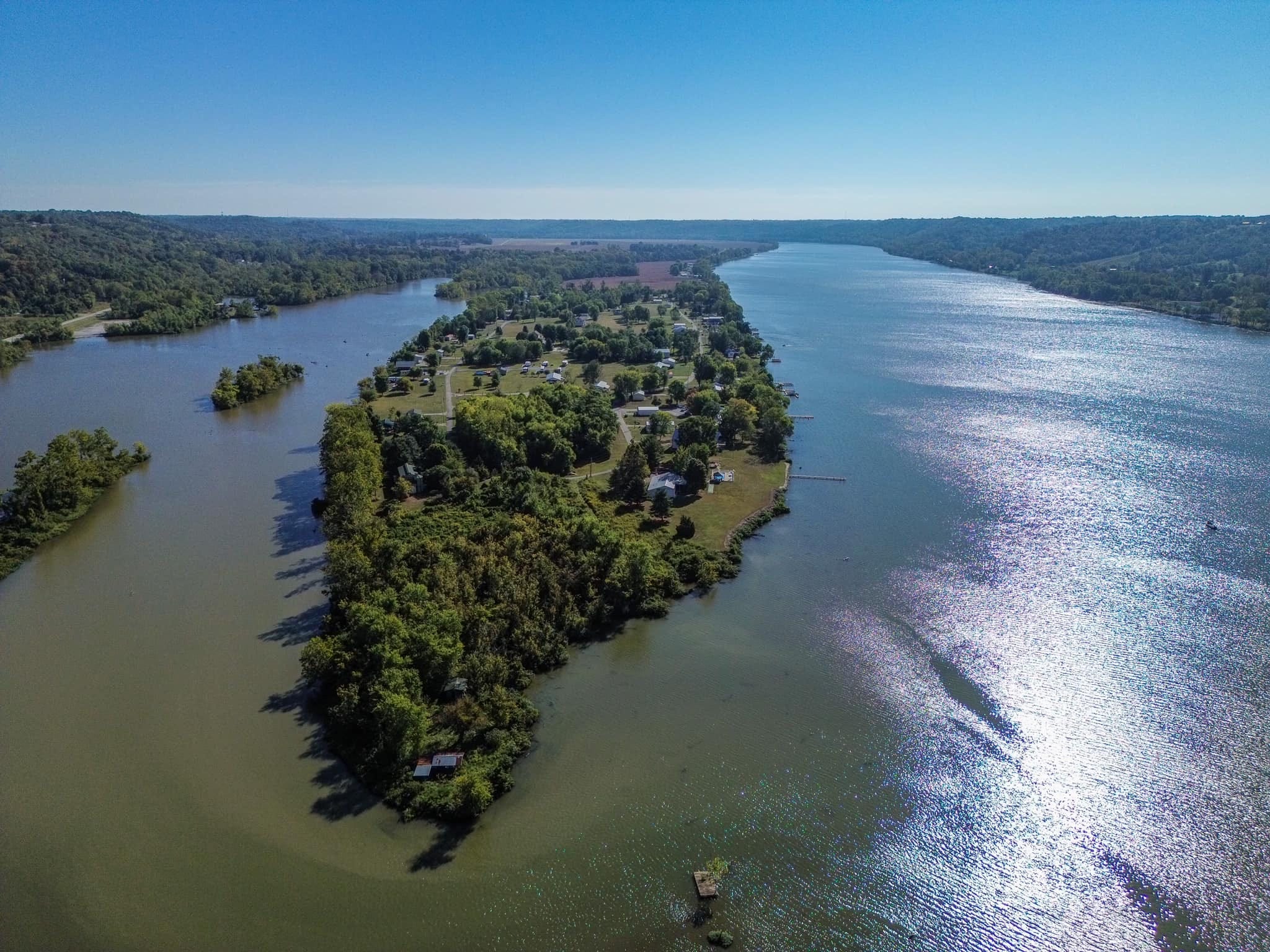
As described in my earlier post, The Search so Far, by mid-August of 2023 we were in a position to begin diving on promising locations to find the sunken America. These are in an area just above the mouth of Bryant’s Creek, Indiana above Warsaw, Kentucky. A Google Mymap is constantly updated with new notes and shared amongst my collaborators. Here’s a sample.
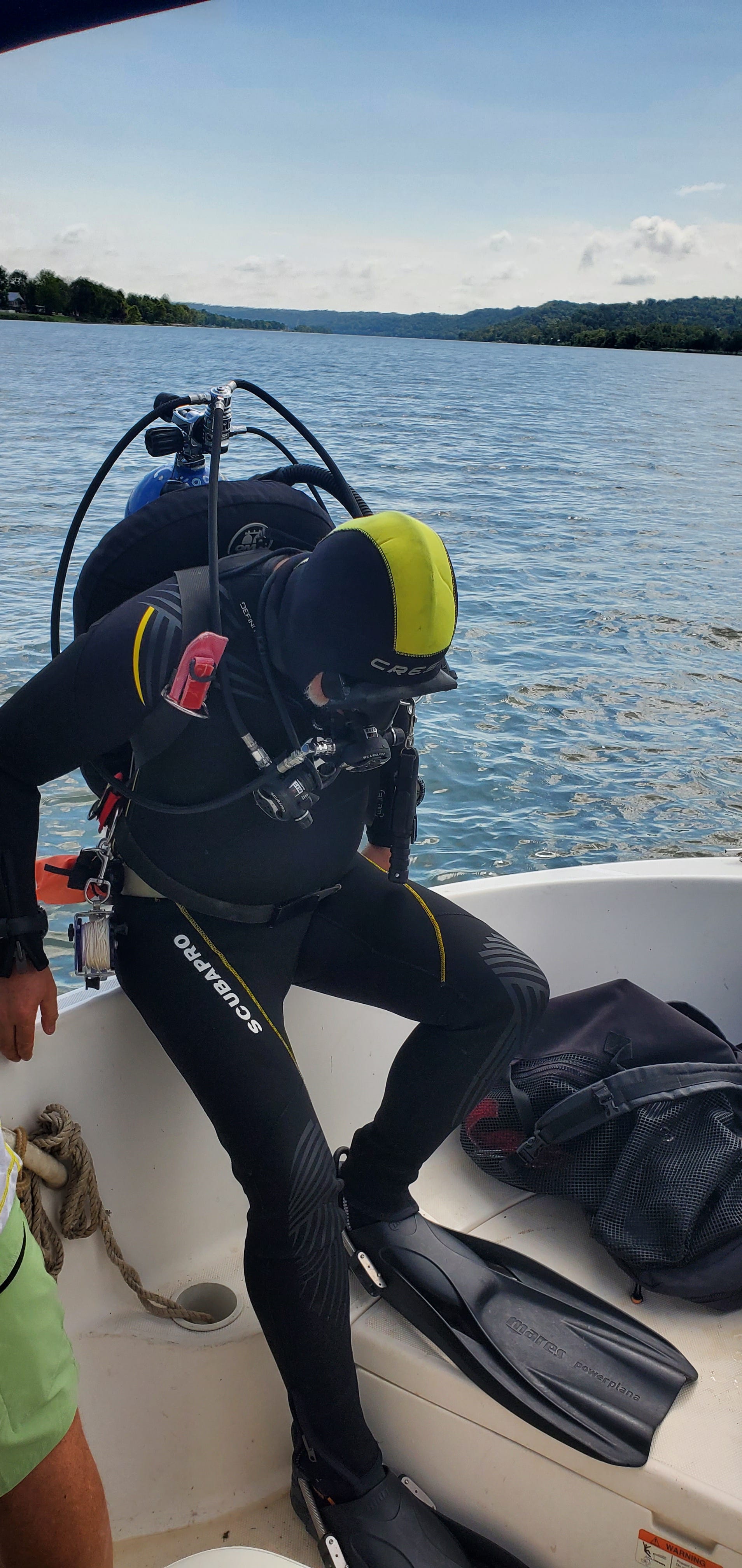
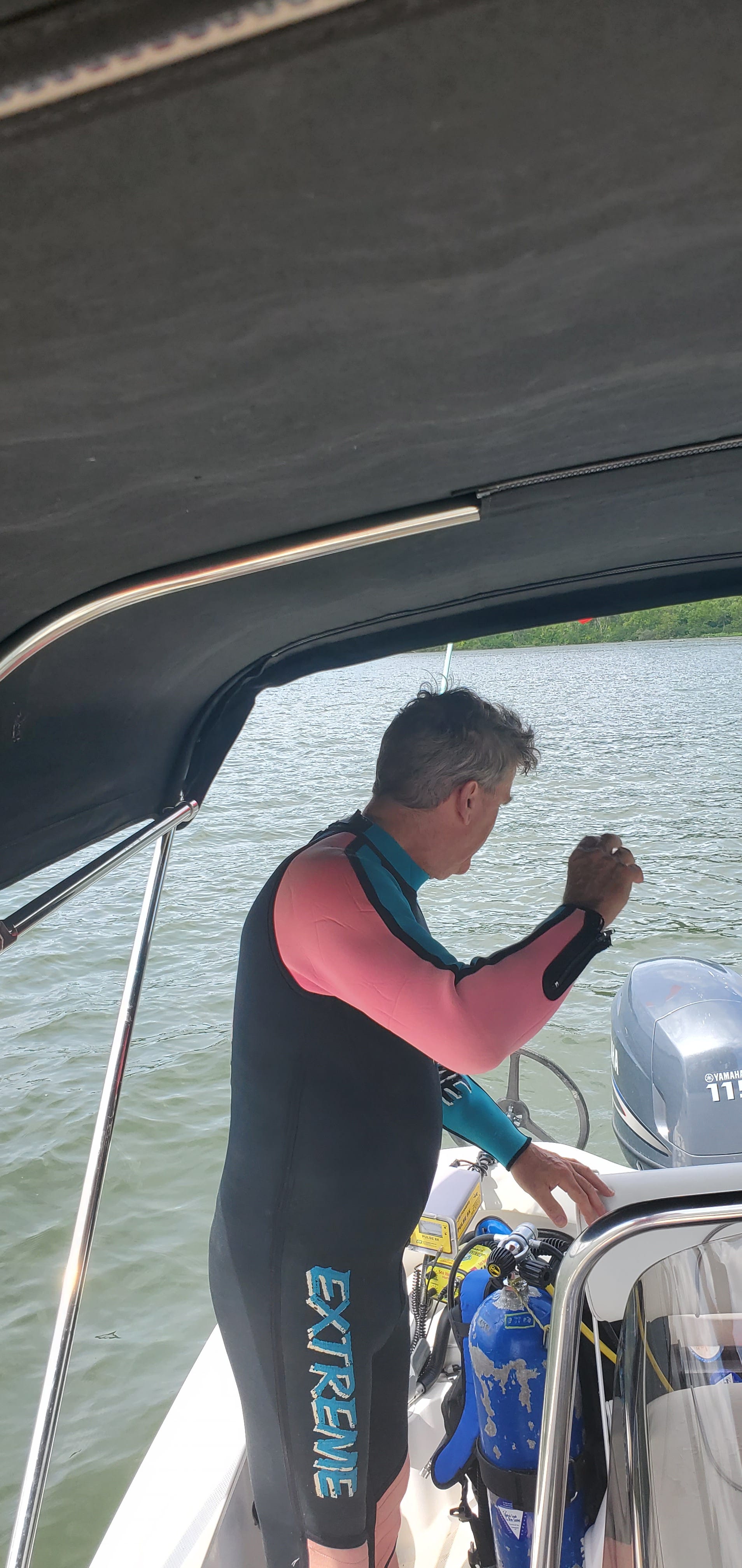
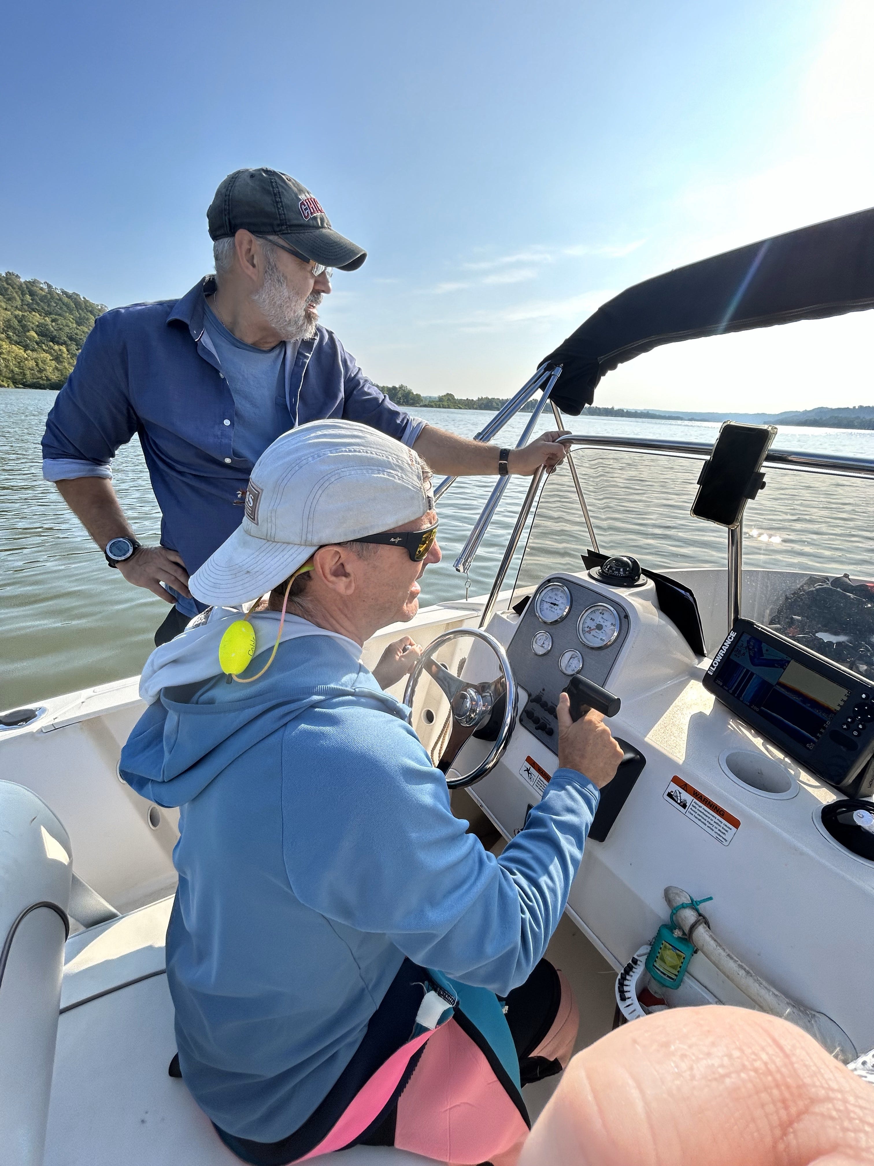
Between August 26 and September 23, Dr. Chris Begley and I conducted a series of ten dives over three expeditions. We were accompanied each outing by a third member as a safety. These were, in order of the expeditions, my brother Jim Wolff, my friend Joe Cordonnier and finally Dean Love, who is a friend of Chris. Dean is a documentarian from New York with an accomplished career in TV and film. He and Chris met in Honduras during the filming of a documentary called The Cave of the Glowing Skulls. Dean directed the film. Chris was one of the archeologists.
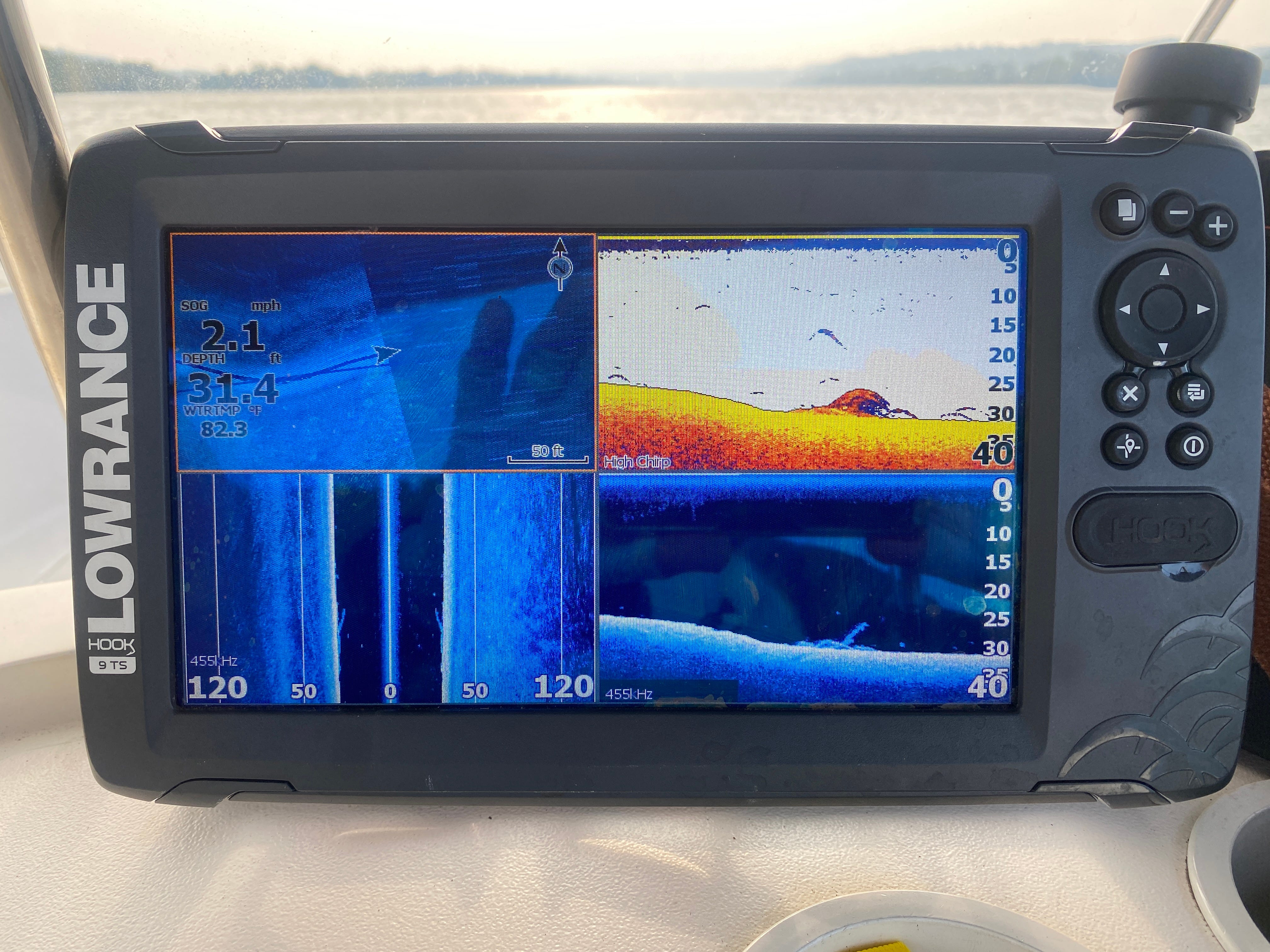
The first set of dives brought some very good news. We found the visibility to be better than expected. Check out this video from Chris’ Facebook feed that shows it pretty well. Better still, we found the bottom to be as hope for; it was all sand and small river stone. This means that the wreckage is unlikely to be buried in the bottom. Rather, we should find it resting on the hard surface. Subsequent dives focused on various likely spots for the wreck, but the river conditions (i.e. visibility) seemed to deteriorate over the weeks.
As we searched and learned more, it was clear America was not going to reveal her ghost so easily. I knew we had to get smarter about where we were diving. Lucky for me, I have some family experts to fall back on. My brother Gary is a consulting river engineer, and my nephew Michael is a GIS professional. Mike studies maps and makes them for a living. The three of us put our heads together and compared the current and historical bathymetry with river morphology. Woven into this analysis was the best understanding we have of the movement of the vessels during the accident. We created a “high probability” search area, five acres in size.
With the coming of colder and swifter waters, we are done with underwater searches for the year. We have learned much and are undaunted. There’s much more to learn and do over the winter and spring to prepare for next year’s search season. During a dive, we have the light, time and breathing air resources to search about 100 to 200 square feet. One hundred square feet is about 0.02 acres. So, we need to be real smart about where we choose to dive or else be prepared to make up to 250 dives to cover the five acres or we need to significantly narrow this search area.
Reflecting on what we’ve learned.
We have a good handle on the history and a rudimentary model of the boats’ movements during the accident.
We have a good understanding of the river bathymetry from the early 20th century.
The nature of the river bottom is advantageous to our search.
Water conditions are poor and variable; yet visibility can be adequate to conduct a small area search.
We have a five-acre area where we are reasonably confident where the wreck should be.
Areas to improve or learn more.
These last dives occurred after an extended period of dry weather, yet turbidity increased over the course of six weeks. Why? What are the best predictors of decent diving conditions?
We need to be able to pinpoint likely wreckage from the surface or from research so that when we dive, we are on a location with a high degree of precision.
Can we build a better scanning system that can be conducted from the boat? This might include a lower angled side scan and/or magnetometer/metal detector..
Is it possible to get better historical information? For example, does the USACE have records somewhere such as its archive at the U of L library or are there any salvage records from the S/V Underwriter somewhere in Cincinnati? (Underwriter was the salvage vessel for United States’ hull).
Can we improve our low-vis underwater search technique? For example,
Would backlighting a large area during low turbidity be effective?
Would area line dragging be effective?
Could a “dive rally” search be organized and be effective?
Thanks again for your support! Here’s a montage of images from the searches.


Dean Rolls. Video by Mark Wolff